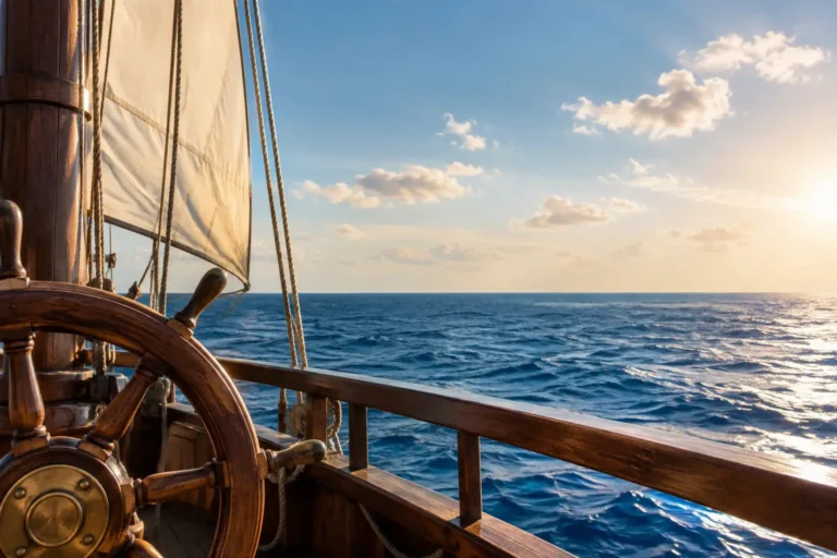
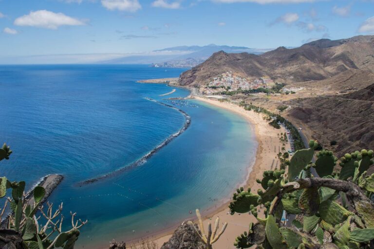
A clear Atlantic horizon off the southwest coast of Tenerife can make the island feel wonderfully close to the edge of the known world. Looking out past the familiar silhouette of La Gomera lies a captivating story that has intrigued mariners, cartographers, and explorers for over a millennium: the phantom island of San Borondón. Said to periodically rise from the Atlantic waters west of the archipelago, only to vanish into thick fog before any vessel can make landfall, San Borondón is part medieval religious legend, part optical phenomenon, and entirely woven into the soul of Canarian maritime culture.
For guests cruising aboard a luxury yacht from Costa Adeje or Puerto Colón, this legend adds a rich, atmospheric layer to the journey. The ocean is not merely a breathtaking backdrop for watching pilot whales and sipping chilled champagne; it is a living stage for one of the most enduring navigational mysteries in the Atlantic.
The legend takes its name from Saint Brendan of Clonfert, a 6th-century Irish abbot famous for his legendary sea voyage across the North Atlantic recorded in the Navigatio Sancti Brendani Abbatis. In the most famous chapter of his journey, Brendan and his monks landed on what they believed was a lush, fertile island, lit a fire to celebrate Easter, and realized too late that their "solid ground" was in fact a giant sleeping sea monster named Jasconius.
As medieval trade routes expanded toward the African coast, Saint Brendan’s mythical paradise fused with Canarian folklore. By the 15th century, local inhabitants across Tenerife, La Palma, and El Hierro referred to it as Insua de San Borondón or La Non Trubada ("The Unfound").
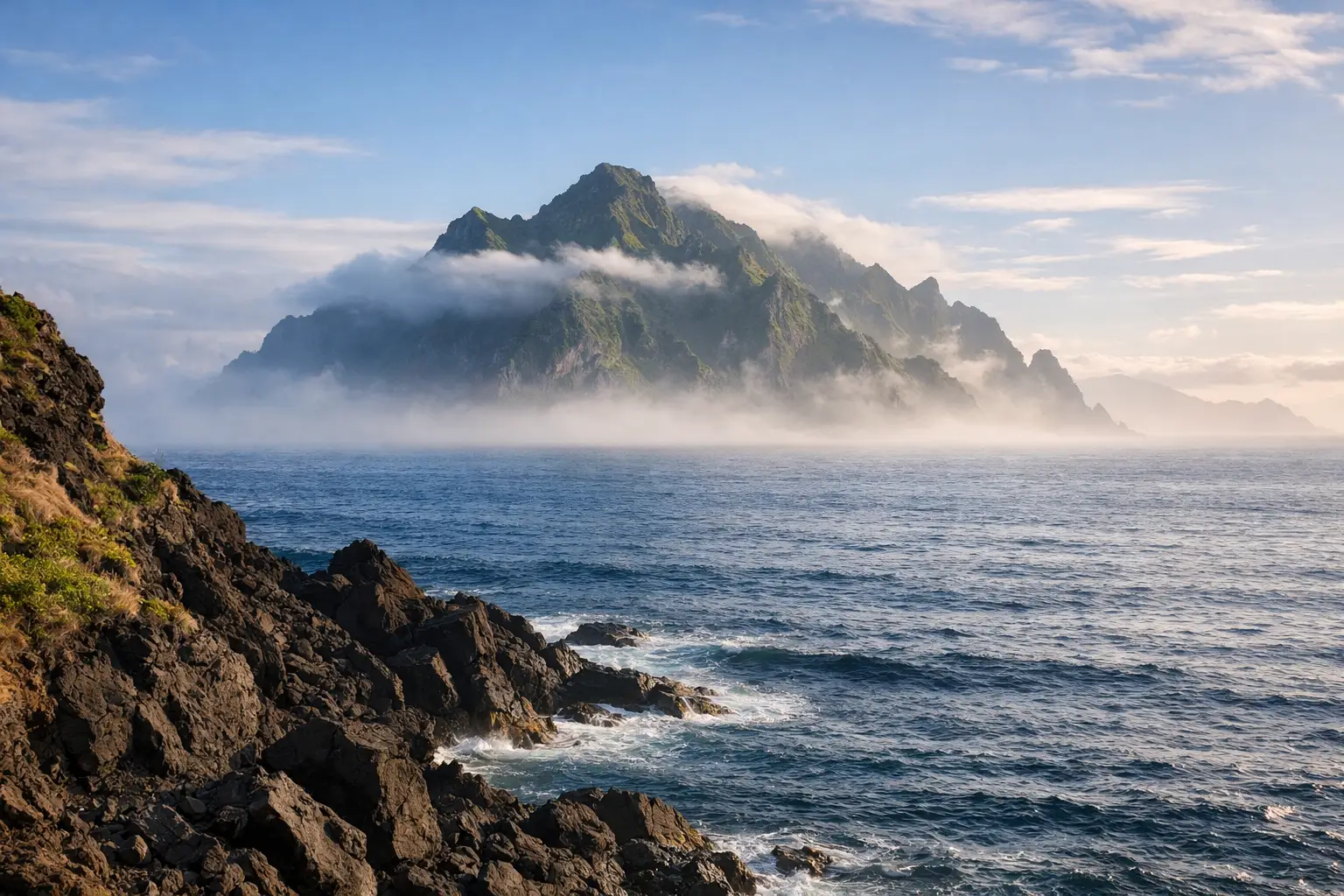
Unlike standard lost landmass legends, San Borondón was described as an elusive, shifting island. Local accounts depicted a high, mountainous landmass covered in green forests and deep valleys, located roughly 550 kilometers west of El Hierro. It would suddenly reveal itself to fishermen on exceptionally clear afternoons, only to disappear completely behind a wall of dark fog whenever a ship attempted to approach its shore.
The Atlantic Ocean surrounding the Canary Islands provides the ideal atmospheric conditions for powerful visual illusions. The interaction between the cool Canary Current and the warm, dry air layer above creates sharp thermal inversions that distort light rays across long distances.
Far from diminishing the legend, understanding these meteorological dynamics highlights how ancient mariners navigated the Atlantic using raw observation, where the line between atmospheric science and myth was naturally blurred.
What sets San Borondón apart from ordinary folklore is that it was taken with absolute seriousness by European geographers and monarchs. For centuries, cartographers included the phantom island in official maps of the Atlantic:
Even as late as 1721, the Royal Audience of the Canary Islands authorized an official naval expedition led by Juan de Mur y Aguirre to locate and claim the island. Dozens of sworn depositions were gathered from captains and coastal residents who claimed to have seen its coastline. It wasn’t until the rigorous cartographic surveys of the 19th century that San Borondón was officially removed from nautical charts, transforming permanently from geographical fact into beloved Canarian folklore.
Geographically speaking, no. Modern satellite radar and bathymetric mapping confirm that no such island exists in the waters west of the Canaries. A yacht cruise will not uncover hidden landmasses, but it does offer a front-row seat to the breathtaking optical phenomena that inspired the story.
Looking west from the deck of a yacht off Costa Adeje during the late afternoon, the island of La Gomera sits prominently on the horizon. As the sun lowers, the shifting light, coastal mist, and mountain clouds create dramatic, ethereal shapes over the ocean. It becomes instantly clear why 16th-century sailors, gazing into the golden Atlantic sunset, believed another magical island was waiting just beyond their reach.
The story of San Borondón is best appreciated during the quiet, serene moments of a private charter. As the engines idle in a secluded cove or as your vessel glides along the southwest coast, listening to the history of the eighth island brings the maritime heritage of the Canaries to life.
Pairing local legends with a private yacht charter elevates your time on the water. While enjoying fine wine, fresh Canarian tapas, and the company of family or friends, you can look out across the channel toward La Gomera, where resident pilot whales surface against the backdrop of the setting sun.
San Borondón endures because it encapsulates the eternal magic of the Atlantic Ocean: the sense that mystery, wonder, and beauty always lie just over the horizon. You may be relaxing on the comfortable flybridge of a modern motor yacht with cutting-edge GPS navigation, yet looking out at the vast ocean at twilight connects you directly to centuries of seafaring imagination.
At Royal Ocean, we believe that luxury travel is enriched by these deep layers of local context. We invite you to step aboard, leave the routine of the shore behind, and experience the timeless beauty of Tenerife's waters—where history, nature, and legend meet on the open sea.
San Borondón is a legendary phantom island traditionally believed to sit west of the Canary Islands. Named after the Irish monk Saint Brendan (San Borondón), it was famous for appearing intermittently on the horizon before vanishing into thick Atlantic fog.
Yes. For centuries, San Borondón was marked on official European maps, including the 13th-century Ebstorf Map and charts drawn by royal engineers. Official naval expeditions were launched by the Spanish Crown as late as the 18th century to locate it.
Most sightings were caused by Fata Morgana mirages (optical illusions caused by temperature inversions), dense low-lying trade wind clouds, or sailors misidentifying the distant, cloud-covered peaks of La Palma or El Hierro.
Historical accounts and medieval maps typically placed San Borondón roughly 550 kilometers west or southwest of the Canary Islands, beyond La Palma and El Hierro.
While the island itself does not exist, a yacht cruise off south Tenerife provides the exact visual conditions—dramatic cloud layers, shifting light, and horizon mirages—that inspired the legendary sightings for centuries.