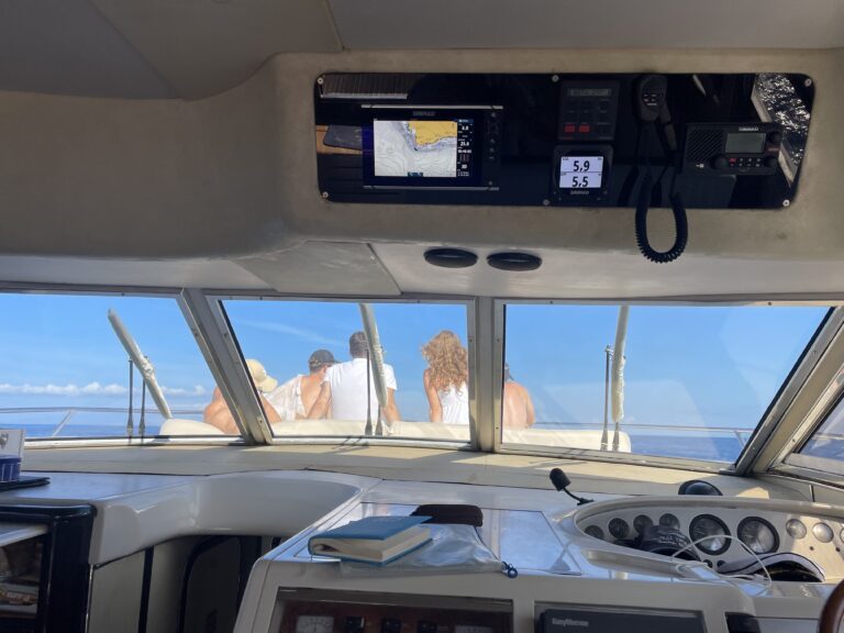
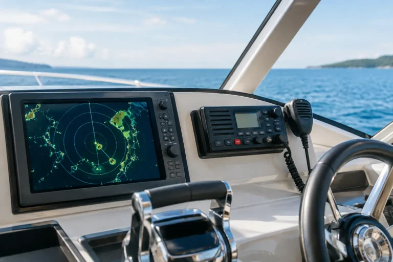
Picture the Atlantic Ocean at midnight with no digital chartplotter glowing at the helm, no satellite signals, and no reassuring GPS pin showing your exact coordinates. For anyone who enjoys time on the water, understanding how ancient seafarers crossed vast, trackless oceans without modern electronics is more than a historical curiosity. It is a profound reminder that skilled mariners once conquered the globe using little more than the sky above them, the swell beneath them, and a remarkably disciplined mastery of observation, memory, and natural science.
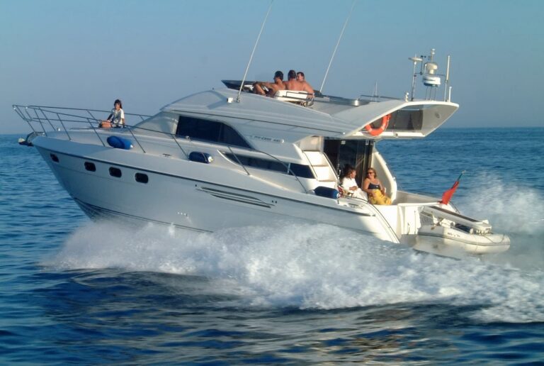
For modern guests stepping aboard a luxury yacht in Tenerife, navigation feels entirely effortless because today’s satellite-driven systems are accurate down to a few centimeters. Yet, the ancient methods of dead reckoning and celestial reading carry a timeless elegance. They were slower, intellectually demanding, and far less forgiving, but they formed the immutable foundation of safe ocean passages long before microchips took over the bridge.

Successful ancient navigation never relied on a single magic instrument. Instead, it was a complex puzzle compiled from multiple sensory clues. A captain would systematically combine celestial paths, solar angles, water color shifts, wind consistency, and depth soundings to build a running estimation of their position. At sea, conditions are never static; a vessel is continuously pushed off its heading by underlying currents, leeway, and steering errors. Ancient navigators understood this volatility perfectly, relying on a web of environmental indicators rather than absolute certainty.
In Mediterranean and early European contexts, sailors predominantly practiced cabotage—hugging the coastline and keeping familiar mountain peaks, headlands, and distinct island silhouettes within visual range. This was not a sign of timid seamanship, but a highly practical risk-mitigation strategy. However, when daring trade routes forced mariners into open, blue-water expanses out of sight of land, they had to invent entirely new ways to read the open ocean.
Long before the invention of the mechanical sextant, the night sky operated as a giant, rotating map. In the Northern Hemisphere, Polaris (the North Star) was the ultimate anchor for navigators. Because Polaris sits almost directly above the Earth’s rotational axis, it remains fixed in true north. By measuring the height of Polaris above the horizon using simple tools like the palm of a hand or a knotted string, an ancient mariner could determine their exact latitude with surprising accuracy.
But celestial tracking went much deeper than a single star. Phoenician, Greek, and Arab navigators memorized entire "star paths"—knowing exactly which constellations rose and set at specific angles depending on the calendar month. Master mariners did not learn this from textbooks; it was an oral library passed down through generations. They treated stars like virtual waypoints, steering the bow of their wooden vessels directly toward a rising star to maintain a precise trans-oceanic heading through the dark.
During the day, the sun became the primary navigational compass. At local noon, when the sun reached its highest point in the sky (zenith), ancient sailors could estimate how far north or south they had traveled. Over centuries, maritime cultures developed elegant mechanical devices to measure these solar angles without needing satellites:
While calculating latitude (north-south position) was a solved problem by antiquity, calculating longitude (east-west position) remained the greatest crisis in maritime history for centuries. Longitude requires precise timekeeping—specifically, comparing local solar noon with the time at a fixed reference port. Standard grandfather clocks and hourglasses failed catastrophically at sea due to the ship's violent motion and humidity. It wasn’t until the mid-18th century, when John Harrison invented the highly advanced, friction-free marine chronometer, that ocean sailors could finally chart their exact east-west position with absolute certainty.
When heavy storm clouds rolled in, masking the sun and stars for days, ancient mariners had to rely exclusively on dead reckoning (DR). This foundational method involved calculating a ship’s current position by taking a previously verified starting point and mathematically adding the vessel’s heading, speed, and time traveled.
To measure speed without an electronic odometer, sailors utilized the "chip log" method: throwing a wooden board attached to a knotted rope into the water and counting how many knots slipped through a sailor’s hands within the span of a 30-second sandglass. This is the exact reason why marine speed is still measured in **knots** today. The inherent danger of dead reckoning is cumulative error. A minor, unnoticed current or a brief steering distraction could throw a vessel miles off its calculated course over a 24-hour period, requiring captains to treat their DR charts with extreme caution.
While European mariners focused on developing physical brass instruments, the Polynesians perfected arguably the most extraordinary non-instrument navigation tradition in human history. To colonize the vast Pacific Ocean across thousands of open miles, they relied on a system called **wayfinding**.
Polynesian navigators read the ocean like an open book. They mapped the open sea by memorizing distinct wave refraction patterns, detecting how swells bent when bouncing off distant, unseen islands. They tracked the flight paths of specific seabirds like frigatebirds, knowing exactly how far these birds flew from land to fish. They even monitored the precise color of the clouds, as the green underside of a cloud sea often indicated the reflection of a hidden shallow lagoon far below the horizon. It was a flawless demonstration of human perception completely attuned to the natural world.
There is a distinct, quiet luxury in understanding the incredible discipline and bravery that the ocean once demanded from those who crossed it. Modern navigation grants us speed, precision, and a stress-free environment, making a cruise along the southwest coast of Tenerife highly accessible and profoundly relaxing. Yet, remembering the old ways reminds us that yachting is far more than a simple transfer between tourist destinations—it is an ancient art of reading the elements.
When you unwind on the deck of a Royal Ocean yacht, watching the golden sun set behind the silhouette of La Gomera, you are looking at the exact same celestial horizon that guided centuries of mariners. Gaining perspective on how captains once braved the open Atlantic with nothing but practice, patience, and nerve doesn't make your modern evening on the water feel heavier. Instead, it elevates your luxury cruise, adding a deep layer of historic sophistication, authenticity, and wonder to your journey.