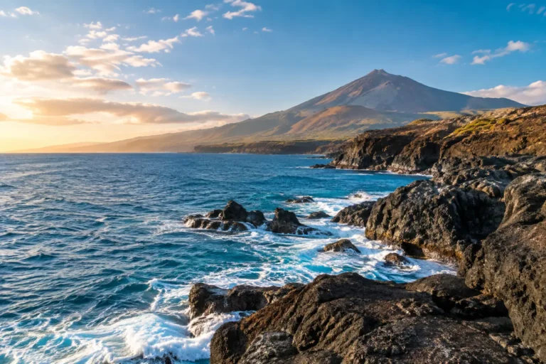
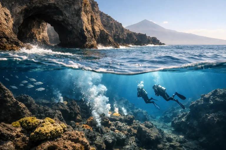
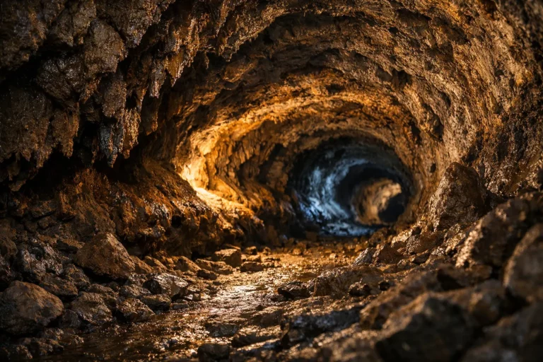
From the deck of a yacht off Costa Adeje, Mount Teide appears as a timeless, sun-drenched landmark. The question behind the search "is mount teide active" is both sensible and straightforward. Tenerife is a volcanic island, and Teide is not an extinct mountain. For visitors planning a holiday, the reassuring reality is that the island is studied meticulously. Its authorities maintain established emergency procedures, and any official change in volcanic risk is communicated through recognised channels.
For guests enjoying a whale-watching cruise, private charter, or sunset sail in southern Tenerife, volcanic activity is not a day-to-day concern. It is, however, useful to understand the distinction between an active volcanic system, routine volcanic unrest, and an imminent eruption. Knowing that difference makes it easier to appreciate the island's extraordinary scenery with confidence.
Yes. Mount Teide is an active volcano. In geological terms, this means it has erupted during the Holocene epoch (the last 11,700 years) and retains the capacity to erupt again. It does not mean an eruption is expected soon. Volcanoes can remain quiet for centuries, and activity is assessed solely on scientific evidence, not by the mountain's appearance or anecdotal online reports.
The most recent volcanic eruption on Tenerife was in 1909 at Chinyero, a vent on the island's northwestern flank. This event lasted only ten days. An earlier eruption in 1798 occurred at the Narices del Teide on the western flank of the Pico Viejo crater, which is part of the Teide volcanic complex. This distinction matters: Tenerife's volcanic landscape is a connected system of rifts, vents, and ancient formations, not a single cone at the island's centre.
In everyday language, Teide is often described as "dormant." Scientifically, "active" is the more precise term. It reflects the volcano's capacity to erupt again while saying nothing about timing. A quiet active volcano can remain quiet for many generations.
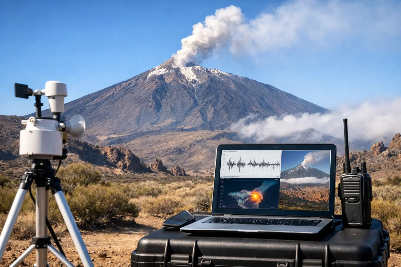
Tenerife is monitored by specialist scientific and civil protection bodies. The primary responsibility lies with the Instituto Geográfico Nacional (IGN) and the Instituto Volcanológico de Canarias (Involcan). Their work is not based on a single instrument or dramatic signal. Scientists look for sustained patterns across multiple data streams and compare them with the island's established baseline behaviour.
The monitoring network is dense and multi-layered:
The strength of this approach lies in its redundancy. One anomalous reading may be temporary or caused by a non-magmatic factor. Several independent indicators changing together, in the same area, over a sustained period, provide a far clearer picture of volcanic unrest.
The Canary Islands government uses a volcanic alert system based on a colour-coded traffic light. This is designed to translate scientific data into clear operational responses for civil protection authorities and the public.
| Alert Level | Meaning |
|---|---|
| Green | No significant activity. Monitoring at baseline levels. |
| Yellow | Increased activity with observable anomalies. Public information campaigns begin; access restrictions possible. |
| Orange | High activity with a high probability of eruption. Evacuations may be prepared or initiated for vulnerable zones. |
| Red | Eruption in progress. All protective measures and evacuations are executed. |
As of the latest official data available, the alert level for Tenerife is Green. Any change to this status would be published immediately by the Cabildo de Tenerife and the Canary Islands Government.
Volcanic emergencies in the Canary Islands are managed through the Plan Especial de Protección Civil y Atención de Emergencias por Riesgo Volcánico en la Comunidad Autónoma de Canarias (PEIVOLCA). If conditions warrant, public authorities issue guidance through official emergency communications, local councils, accommodation providers, and transport operators.
The single emergency number in Spain is 112. It is the number to call if you face an immediate emergency or need urgent assistance. For routine information during a period of unrest, visitors should rely on official local notices and their hotel, tour provider, or airline, rather than viral videos, unverified social media posts, or sensational headlines.
A rise in alert level does not automatically mean evacuation. Authorities may first increase monitoring frequency, restrict access to a particular trail, close a road, or advise people to avoid a limited area. The correct response depends on the location, the specific hazard, and the prevailing wind direction, especially if ash or volcanic gas is involved. Tenerife is a large island with varied terrain; a measure affecting Teide National Park would not necessarily affect the south-coast marinas, beaches, or resorts.
For guests staying in Costa Adeje, Los Cristianos, or Playa de las Américas, Teide is usually a magnificent backdrop rather than a practical disruption. Standard holiday considerations are far more likely to shape a day at sea: wind, swell, sea state, and port guidance. A professional crew monitors marine weather forecasts and will always make safety-led decisions about a cruise route or departure.
There is also a useful geographic distinction. A private yacht experience is planned around marine conditions, while a trip to Teide National Park is influenced by mountain weather, road access, and national park regulations. The summit can be cold, windy, or cloud-covered even when the coast is warm and calm.
Should a significant volcanic event ever occur, operators would follow official instructions precisely. Harbour operations, coastal access, and marine routes could be adjusted if necessary, but this would be directed by the relevant maritime authorities. Reputable tourism businesses communicate practical changes clearly, prioritising guest comfort and safety over a fixed itinerary.
There is no need to build a Tenerife holiday around volcanic anxiety. A few calm, practical habits are sufficient:
It is also worth resisting the temptation to interpret every minor earthquake as a warning. The Canary Islands are volcanically active, and low-level seismicity is recorded routinely without any public consequence. The people best placed to interpret those signals are the monitoring teams who see the full dataset, not commentators working from a single map or social media clip.
Teide gives Tenerife much of its character. Its volcanic origins created the island's dramatic coastline, black-sand beaches, striking cliffs, and the sheltered waters where pilot whales and dolphins are often seen. The same geology that prompts sensible questions about monitoring is also what makes a cruise along this coast feel so distinctive.
At Royal Ocean, a calm day on the water offers a particularly elegant way to appreciate that perspective: the Atlantic in front, Teide on the horizon, and an attentive crew taking care of the details. Check official advice if circumstances ever change, then allow yourself to enjoy the island as it is meant to be enjoyed—with comfort, care, and a little awe for the landscape around you.
No. There are no current scientific indicators suggesting an imminent eruption. Teide is actively monitored, and the volcanic alert level remains at Green, indicating baseline activity.
The single European emergency number, 112, is the number to call for any immediate emergency in Tenerife, including health, fire, and safety threats.
Official alerts are communicated by the Cabildo de Tenerife, the Canary Islands Government, and the national civil protection authority. Visitors should follow guidance from their accommodation and tour operators, and avoid relying on unverified social media posts.
It is a four-level alert system. Green means normal activity, Yellow means increased activity, Orange means high probability of eruption, and Red means an eruption is in progress.